Summer schools are an integrative part of the CDE study programme and a compulsory element of the curriculum. Poster and/or paper submission to conferences provide students a platform to interact with people and to receive feedback on the quality of their research.
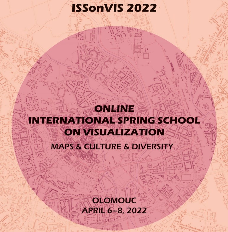
“ISSonVis 2022” : International Spring School on Visualization
Topics: Geography and analysis of surnames, maps and culture, maps in literatury and history.
The International Spring School on Visualization (ISSonVis) provided an opportunity for the encounter of students, scholars, and experts in the field of geovisualisation. People and their ideas about space have always helped to shape the history and cultures of nations. Maps, history and culture integrate the study of technical, natural and social sciences.
The promotion of interdisciplinary dialogue that transcends traditional historical, geographical or methodological boundaries, and develops new analytical approaches to spatial thinking in historical context and cultural imagination was involves in ISSonVis.
The ISSonVis 2022 is subdivided into lectures, guided practices and edutainment sessions. With the distinctions of technical, natural and social dimensions of the maps, culture, and diversity, transdisciplinary discussions will occur, considering mapping techniques, landscape, literature, ethnography and ethnology.
Moreover, the Spring School strived to establish an open platform for participants to bring their experiences, ideas, data, and projects to share, work, present, and discuss. The Spring School primary focus was to provide and transfer new geovisualisation skills, techniques, and knowledge both ways – from scholars/experts to the students, and vice versa. The International Spring School 2022 was designed to be fully online and dedicated to students (Bachelor, Master, PhD).


Summer School- 2

Multi-sensor Earth observation in practice June 28 - July 5, 2022
To start with a brief overview introduction was given by Dr Zahra Dabiri about the activities in
Summer School and the expected outcomes. To follow with Dr Stefan Lang provided concepts for Earth Observation based biotope type mapping and Environmental Monitoring. Main points of the discussion were as flows
– United Nations Conventions (CCD, CBD) United Nations Convention to Combat Desertification, Commercial Biodiversity
– Land Use and Land Use Change in Forestry (LULUCF) is the next new thing.
– Illegal logging, forest strategy, Carbon trade.
Common Agricultural Policy (CAP) to control the crop dynamics and what the farmers do.
– DRR Disaster Risk Reduction
– CBD 1992 was a political decision to halt biodiversity loss. There is nothing related to how to measure loss of biodiversity.
The general topics will cover the following themes:
- Copernicus Big data/ EO data acquisition including Satellite Image Time Series in the big EO data context, Analyses in (Semantic) EO data cubes, Investigating surface changes using the Austrian semantic EO data cube
- Radar: applications and methods, including mass movement with a focus on interferometry and velocity estimation
- Glaciers mapping using EO data and CNN
- In-Situ data collection, including UAV flight preparation and data collection
- The group works was presented in a special session in GI-Salzburg 2022.
Professor Benjamin Robson gave a short overview on how to process UAV data in Agisoft software.
The main output of the exercise was orthomosaic imagery. A short session on project management through Github was demonstrated by Dr Martin Sudsmann.
Later that day students formed groups and selected one of the four topics that were learned during the Summer School. Every started the preparation of presentation in the later half. Students inSummer School were supposed to present their topics in GI Salzburg Conference.
GI Salzburg Conference was held on 5th July 2022. I presented the topic “Glacial Mapping Using Convolutional Neural Network and Object Based Image Analysis”.


